
Data Flow
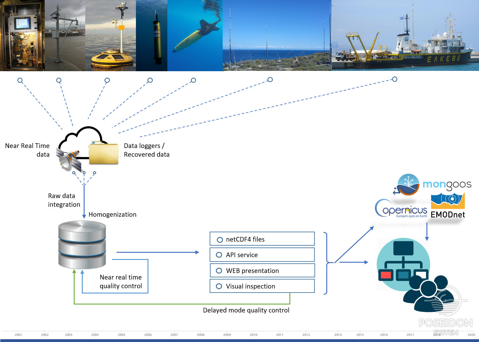
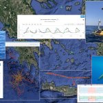
The POSEIDON monitoring network consists of a series of different platform types recording in situ data in the vicinity of the Greek seas:
- Fixed mooring stations,
- Tide gauges,
- Argo floats,
- Gliders,
- CTDs,
- Sampling bottles,
- Ferrybox,
- HF radar system and
- Cabled seabed observatory
Each platform hosts a number of different sensors recording a variety of parameters (oceanographic, biochemical, meteographic, etc) with different temporal and spatial coverage. Depending on the type of the platform, the collected data can be:
- time series with specific time frequency on certain pressure levels,
- profiles with varying time frequency and multiple pressure levels,
- gridded observations providing a wider spatial coverage,
- sound recordings,
- images
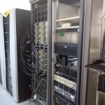
All the collected datasets are either transmitted in real time to POSEIDON operational data center through satellite and mobile networks or saved into attached data loggers / storage media for later retrieval and processing. The raw data (as provided by the sensors) are undergoing a first level of metadata processing and homogenization following certain naming, units and date format conventions and are then stored into a specifically developed database system. Apart from the instantly recorded parameters, a number of derived parameters (salinity, dissolved oxygen, sound velocity, etc ) are also included in the available observations. The conventions and the list of the parameters metadata used in the implementation of all the provided measurements are part of the Copernicus Marine In Situ TAC - physical parameters list.
After the homogenization process is complete, a first level of quality control is applied on the measurements with the use of automated near real time procedures (NRT qc). These procedures provide a first evaluation of the quality of the data by taking into consideration minimum and maximum valid ranges, spikes and stuck values. The initial values of the datasets are not changed but an additional flag depicting the quality is included as a descriptor to each value. Apart from the automated near real time quality control, a delayed mode quality control is applied using advanced procedures, data comparison and visual inspection conducted by experienced scientists on a later time and at least twice per year. All these procedures are defined by parameter, elaborated in coherence with international agreements, in particular those adopted within SeaDataNet project. Detailed information on the applied procedures can be found in the Relative Documentation on the CMEMS In Situ QC procedure manuals.
As soon as an evaluation phase is complete, the data and metadata are formatted into netCDF (Network Common Data Form) files, following globally used format conventions and standards by OceanSites and Copernicus. Under this format, these files are distributed into some of the most known repositories for marine data such as Copernicus, monGOOS and EMODnet. A description of available tools to open NetCDF files as well as a Python example of working with in-situ datasets can be seen in the Relative Documentation.
Apart from these repositories, the available datasets are publicly accessible through the POSEIDON services as open data. The users can view a brief graphical presentation of the POSEIDON network of observatories and the recorded data, as well as download the datasets of interest. The access to the download services is free but restricted to registered users.
Related Documentation
Format Information
Near Real Time Quality Control procedures
CMEMS In Situ TAC QC procedure manuals for:
- Temperature and Salinity, Currents and Sea Level,
- Waves,
- Chlorophyll-A, Dissolved Oxygen and Nutrients