Tide Gauges
Sea level is a critical variable of the marine environment which has a high impact on coastal populations. It constantly changes at every locality with the changes in tides, atmospheric pressure, wind conditions, temperature ocean variations which affect the density and the volume of the water, rainfall and river water flowing into the ocean. Longer-term changes in sea level are influenced by Earth’s changing climates.
A tide gauge is a recording device of the sea level changes which is fitted with sensors that continuously record the height of the surrounding water level. Τide gauge measurements can be used to determine trends in mean sea level, extreme conditions (and their relation to climate change), tidal computation, geodetic applications, harbour operations and navigation, as well as sea level hazards warning systems (tsunamis and storm surges). Moreover, this data is critical for many coastal activities, including safe navigation, sound engineering, and habitat restoration and preservation.
Tide gauges have a relative long history as at some places, systematic sea level observations have been performed and recorded since the early 18th century. The first devices were simply graduated rods, usually called tide poles, placed at locations where the instantaneous water level height of the sea could be read off at any time by an observer. Automatic recording devices appeared in the 1830s when self-recording gauges with mechanical floats and stilling wells were introduced. Tidal poles and float gauges were the primary means of sea-level measurement for over 150 years and continue to operate at some locations today. The recent technological evolution led to tide gauges that use microprocessor-based technologies to collect sea-level data. While older tide-measuring stations used mechanical floats and recorders, modern monitoring stations use advanced acoustics and electronics. In addition to measuring tidal heights more accurately, modern water level stations are capable of measuring several other oceanographic and meteorological parameters, including wind speed and direction, air and water temperature, barometric pressure.
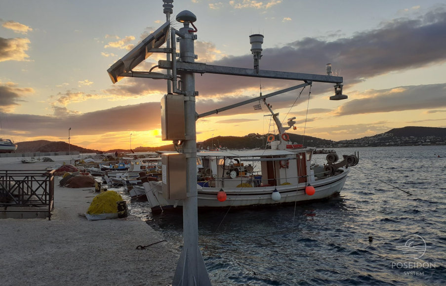
Two state of the art radar sea level recording stations will be added to the POSEIDON observatory in the framework of the HIMIOFOTS project. The stations will be also equipped with meteorological sensors and GNSS receivers for high precision positioning references. The station locations will be decided after consultation with the Greek entities that contribute to the national sea level monitoring network.


