Copernicus
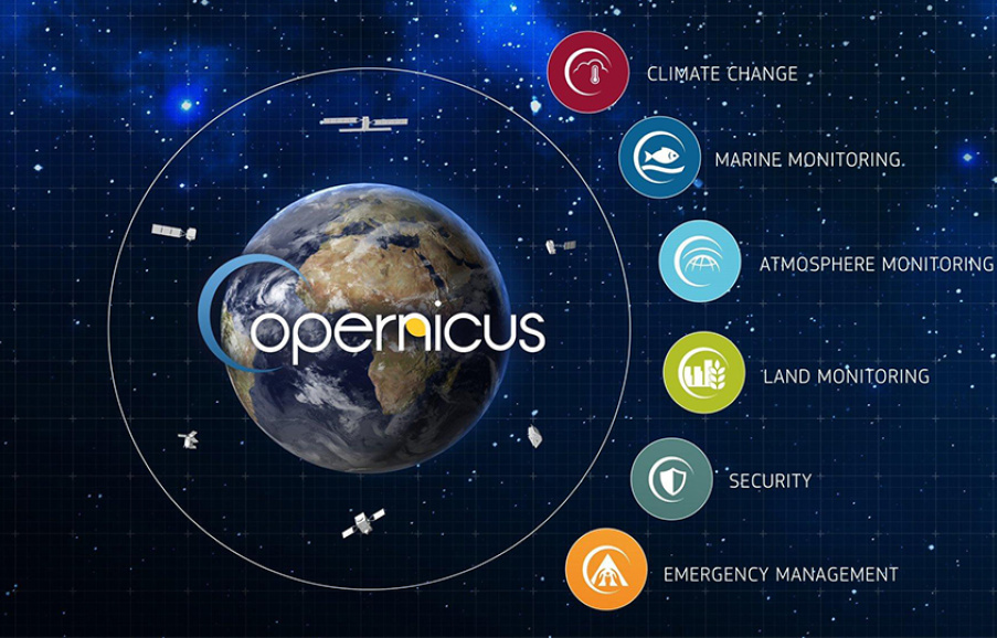
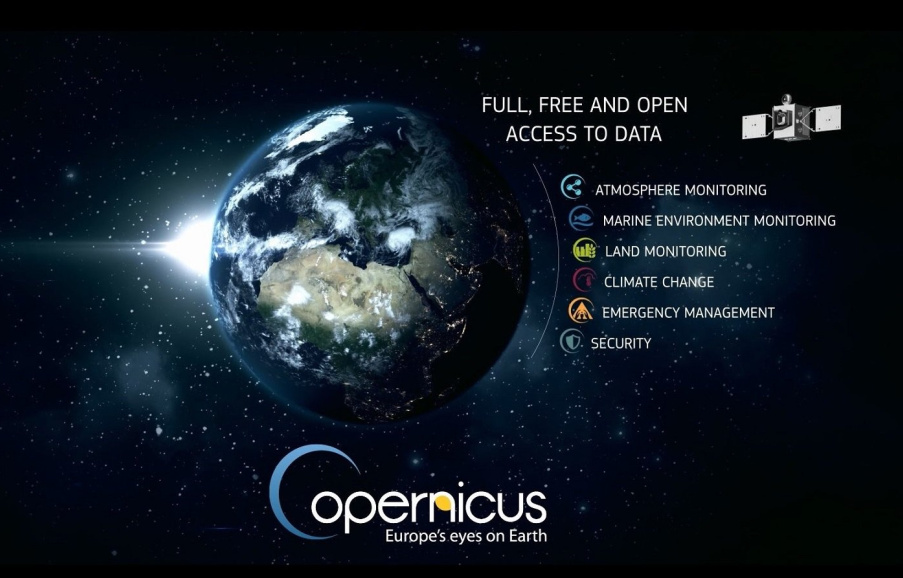
The Copernicus Marine Environment Monitoring Service (CMEMS) is one of the six pillar services of the EU (European Union) Copernicus programme. The CMEMS provides regular and systematic reference information on the physical and biogeochemical ocean and sea-ice state for the global ocean and the European regional seas. This capacity encompasses the description of the current situation (analysis), the prediction of the situation 10 days ahead (forecast), and the provision of consistent retrospective data records (reprocessing and reanalysis). CMEMS provides a sustainable response to European user needs in four areas: (i) maritime safety, (ii) marine resources, (iii) coastal and marine environment, and (iv) weather, seasonal forecast and climate. A major objective of the CMEMS is to deliver and maintain a state-of-the-art European service responding to public and private intermediate user needs, and thus involving explicitly and transparently these users in the service delivery definition.
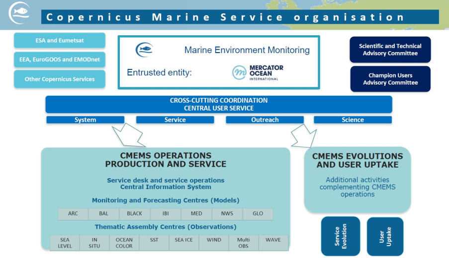
The backbone of the CMEMS relies on a distributed architecture of production centers for observations (Thematic Assembly Centres—TACs), modeling/assimilation (Monitoring and Forecasting Centres—MFCs) and a Central Information System (CIS) (Figure 1); it includes:
- Eight TACs, six satellite TACs organized by ocean variables (sea-surface topography, ocean color, sea-surface temperature, sea-ice, winds and waves), one for in situ observations and one multi-observation TAC (that merges different in situ and satellite data to elaborate high-level products). These production centers gather observation data from in situ networks [e.g., the Global Ocean Observing System (GOOS), the Joint Technical Commission for Oceanography and Marine Meteorology (JCOMM), and the European Global Ocean Observing System (EuroGOOS) and from the Copernicus satellite component, through the European Space Agency (ESA) and the European organization for the exploitation of Meteorological Satellite (EUMETSAT)]. TACs generate validated data sets directly useable for assimilation in models (MFCs) and derive high-level products (i.e., gridded multi-sensor products) directly useable for downstream applications.
- Seven MFCs, distributed according to the marine area covered (Global Ocean, Arctic Ocean, Baltic Sea, North Atlantic North West European Shelf, North Atlantic Iberia-Biscay-Ireland area, Mediterranean Sea and Black Sea), that generate model based products on the ocean physical state and biogeochemical characteristics, including forecasts, hindcasts and reanalyses.
- A CIS, encompassing the management and organization of CMEMS information and products. A single catalog (global and European coverage) is offered to users. The CIS allows searching, viewing, downloading products and monitoring of the system. A manned service desk provides a network of technical and marine experts to support users.
(text derived from “From Observation to Information and Users: The Copernicus Marine Service Perspective” doi: 10.3389/fmars.2019.00234)
The Institute of Oceanography of HCMR, after its successful participation in MyOcean I, II & FO projects, is a member of the CMEMS consortium since the official launch of the service in May 2015, supporting the provision and the evolution of the products in the Mediterranean Sea. HCMR operates the following nodes of CMEMS:
- The regional component of the CMEMS in situ TAC for the Mediterranean Sea. This regional center collects, on a daily basis, data from all the real-time oceanographic platforms that operate in the region, assigns the relevant quality control procedures that has been agreed among the consortium, and disseminates this data set in a standardized format in order to be accessible through the Copernicus Marine web portal (http://marine.copernicus.eu). Delayed mode and reprocessed data products are also available through scientific validation that includes statistical tests to check the consistency of the observations and climatological tests to highlight suspicious data that could not be detected by automatic quality control processes.
- The regional wave component of CMEMS MFC (Monitoring Forecasting Center) for the Mediterranean Sea provides, on a daily basis, wind-wave analyses, and 10-days forecasts at 1/24o horizontal resolution. The system is based on a well-tuned implementation of WAM Cycle 4.6.2 wave model, has a two-nests configuration (a North Atlantic 1/6o wave model provides open boundary conditions to the Mediterranean Sea model) with data assimilation of significant wave height along-track satellite observations, is forced with ECMWF operational analyses and forecasts 10m winds, and uses CMEMS surface currents in offline mode to calculate wave refraction. Wave products are accessible through the Copernicus Marine web portal and are subject to monthly monitoring of quality. In addition to the analyses and forecasts products, the regional wave component for the Med Sea produces and releases wave reanalysis (currently wave hindcast for the period 2006 – 2018) and significant wave height extreme percentiles for each year.
CMEMS web site : http://marine.copernicus.eu


